Kylye Nelson was shocked to see the state of a popular swimming hole on Norrish Creek at the end of July.
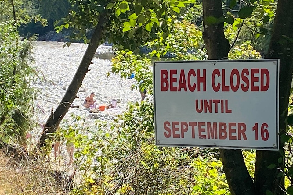
When she arrived in the area, just a short hike from Hawkins Pickle Road in the Fraser Valley Regional District, Nelson said other disappointed recreational users had turned around and were leaving. A sign read “Beach closed until September 16.”
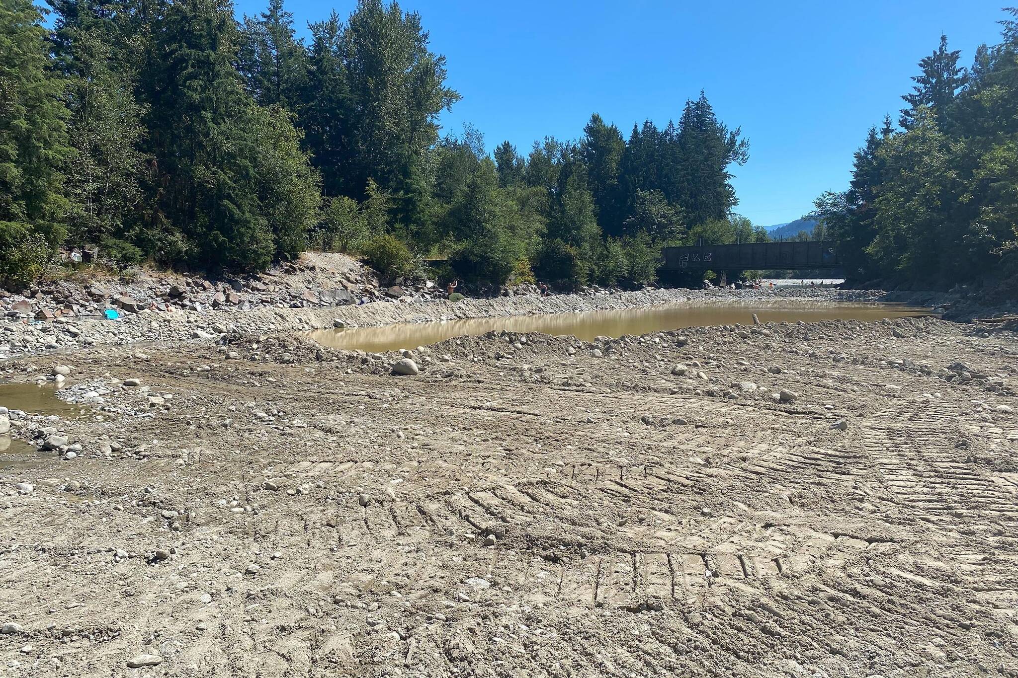
“There’s nothing here anymore. There’s not even a beach anymore, it’s not a swimming hole anymore – it’s knee deep,” she said. “I used to be able to just swim underneath the train bridge completely – deep enough to cover my head.”
Nelson, who has been going to the location since she was 10-years-old, said the water was “incredibly” shallow compared to the depth last summer.
A bulldozer on sight appeared to have significantly altered the once-picturesque area running underneath the Canadian Pacific Rail (CPR) bridge along the fish-spawning stream. Rocks had been pushed to one side and piled up, and a stagnant pool of brown water sits adjacent to the stream.
The ongoing work, however, is not responsible for the changed hydrology of the stream; it’s an attempt to repair the environmental damage caused by the November 2021 atmospheric river events, according to an email from a Leq’á:mel First Nation spokesperson.
The project is being conducted by CPR in consultation with Fisheries and Oceans Canada (DFO) and Leq’á:mel First Nation. The latter are acting as environmental monitors as the work is being carried out within their territory, and is of significant cultural and environmental importance.
Its goal is to remove bed load and debris from the stream underneath the CPR bridge. Bed load is sediment – sand, gravel, rocks and other natural deposits – that are carried downstream by rolling along the bottom of rivers, streams or creeks.
The atmospheric rivers caused an “unprecedented” amount of sediment to be deposited into Norrish Creek, the effects of which “will likely be felt for years,” the Leq’á:mel spokesperson said.
The extreme weather led to multiple landslides, exacerbating sediment conditions already vulnerable from a history of poor forestry practices, clear cutting and poor road building in the watershed, the spokesperson said.
The amount of sediment in the stream not only poses a risk to CPR infrastructure, but also to the aquatic environment of Norrish Creek.
“Although it may appear as though heavy equipment significantly altering the site, the project is intended to add complexity to the stream bed to promote bio-diversity within the water system,” the Leq’á:mel spokesperson said, noting the DFO and Fish Habitat Protection Program are regularly on site.
The DFO said via email that the sediment removal is being completed within an appropriate window to avoid disruption to fish-spawning cycles.
The Leq’á:mel spokesperson said they’ve been assured the site will be restored to “as close to natural as is possible to ensure a natural aquatic habitat can survive,” following the project.
They said, however, that the watershed faces significant challenges from human activity upstream of Norrish Creek, and more sediment removal along the stream will likely continue until slopes can be stabilized to prevent further damage..
“Leq’á:mel is advocating for long-term solutions of debris and sediment control points that allow for regular, preventative maintenance, a smaller footprint in the stream and at a less environmentally sensitive location in the stream,” the Leq’á:mel spokesperson said.