New and improved web mapping by Fraser Valley Regional District is now available as a public resource to property owners.
Water, sewer, zoning and drainage information is searchable for printing or sharing on the updated FVRD Web Map site at fvrd.ca/mapping.
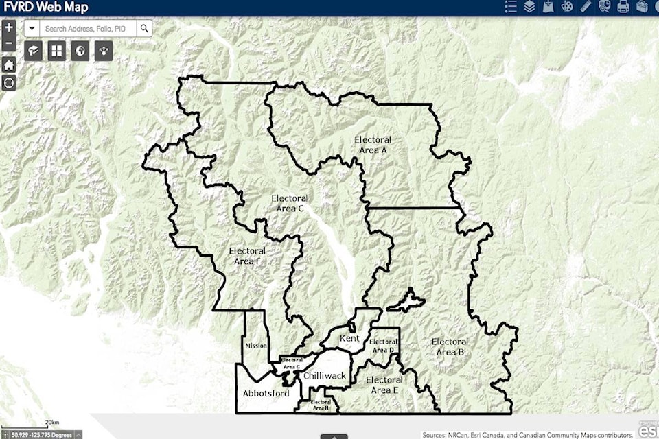
Did you know you can look up property information such as water, sewer, drainage, zoning and more? Check out the new and improved FVRD web map https://t.co/Yy5aW6LgAx pic.twitter.com/87wSTz9w13
— Fraser Valley Regional District (@FraserValleyRD) January 22, 2021
There are multiple layers of mapping with everything from hazards showing the locations of alluvial fans and floodplains, as well as jurisdictions, First Nations, ALR, parks, and more.
Anyone interested in purchasing maps from the regional district can email FVRD officials at gisinfo@fvrd.bc.ca
The updated site is FVRD Web Map
Do you have something to add to this story, or something else we should report on? Email:
jfeinberg@theprogress.com
@CHWKjourno
Like us on Facebook and follow us on Twitter.
Want to support local journalism during the pandemic? Make a donation here.