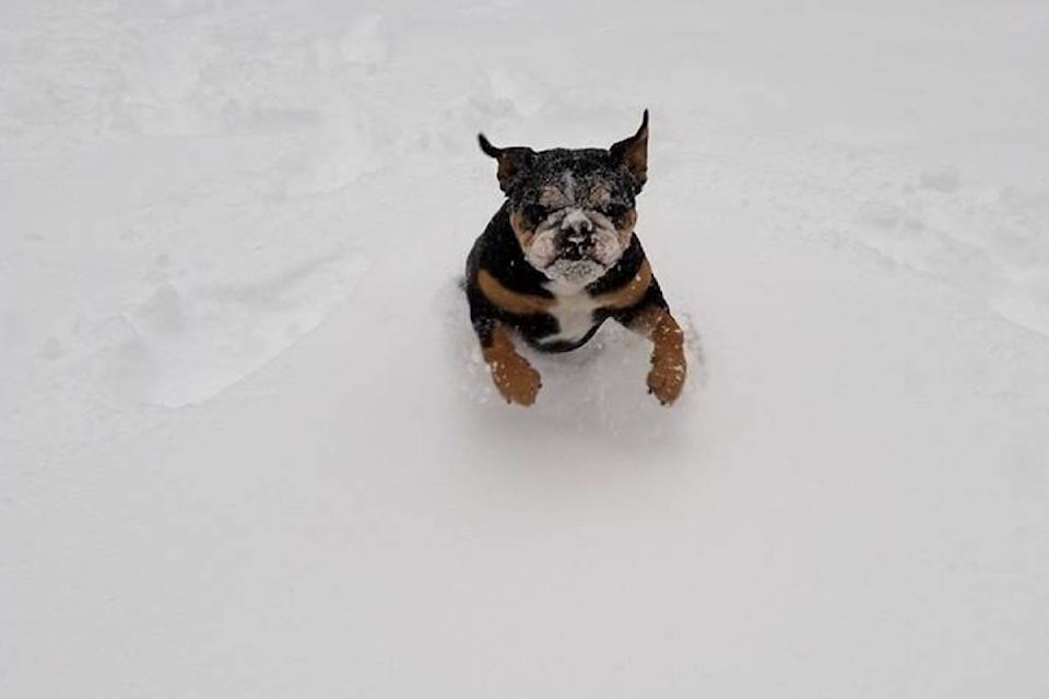
Rumours are swirling that B.C. is about to be blanketed in white.
During the day Wednesday, residents questioned one another on reports that this weekend the province will be hit with a whopping amount of snow — possibly the most on the planet.
Weather forecast says “BC to get Most Snow on the Planet” over next 5 Days... Good time to stock… https://t.co/Pikdrh2VcG
— Tree Brewing (@treebrewing) January 17, 2018
However, Environment Canada doesn’t find the upcoming winter storm forecast to be that shocking.
Chris Emond,of Environment Canada says currently there is a front crossing and low-pressure system over the eastern Pacific Ocean that is bringing a flow from the Southwest.
“What we have is areas that are up upslope of the flow, so in the Southwest facing mountain slopes you get an enhanced amount of precipitation,” he explains. “So, along with Vancouver Island and the coast range there will be quite a bit of precipitation, which will be snow in the mountains, but in the valleys and the cities it will most likely be rain.”
Another system is expected to hit the province on Saturday that will bring more precipitation to the area, although Emond believes it could focus towards the south near Oregon and Washington State.
RELATED: Power restored to most of Parksville Qualicum Beach
“There is no Arctic air in place for the valleys and the coast, so probably at places near sea level, such as Vancouver, it will be rain,” he says.
To the north near Whistler, residents there could expect to see snow overnight on Saturday but currently, Environment Canada is only forecasting between 15 or 20 cm.
“There are locations high up in the mountains that do get very large amounts of precipitation, but it’s way up, no one lives there,” Emond explains. “With respect to a large snowstorm that would impact coastal cities, we don’t see that in our forecast.”
For the Okanagan and Shuswap, Environment Canada meteorologist Doug Lundquist says the low-pressure system forecast for the weekend did not strike him as an extraordinary event.
“It is wet, and there might be a rainfall warning, but nothing out of the ordinary,” he explains.
Looking ahead over the next two days, Lundquist did not see precipitation above 6 mm in the Okanagan region, including the mountains.
To the northeast near Revelstoke, 27 cm of snow could fall in the highest mountain terrain over the next few days, to which Lundquist says is normal for this time of year.
RELATED: After an eventful night Drive BC reports winter driving conditions
“This is a typical winter pattern, milder in the valleys of the interior, typical coastal weather, a storm on the weekend and more rain for Vancouver, but the high terrain will collect the snow,” Lundquist explains.
This weekend the Central and South Okanagan could see up to 7 mm of precipitation, while to the north and in the Shuswap a mix of rain and snow is expected, along with wind gusts.
With this winter storm forecast for Saturday, Lundquist warns the avalanche risk will increase in what is already rated as considerably dangerous conditions in the backcountry.
Related: Special avalanche warning for much of B.C.’s interior ranges
Interior highways such as the Coquihalla and Okanagan Connector are forecast to receive several centimetres of snow overnight on Saturday, that could possibly trigger a snowfall warning for the mountain passes.
To report a typo, email:
newstips@kelownacapnews.com.
@Jen_zee
jen.zielinski@bpdigital.ca
Like us on Facebook and follow us on Twitter.
