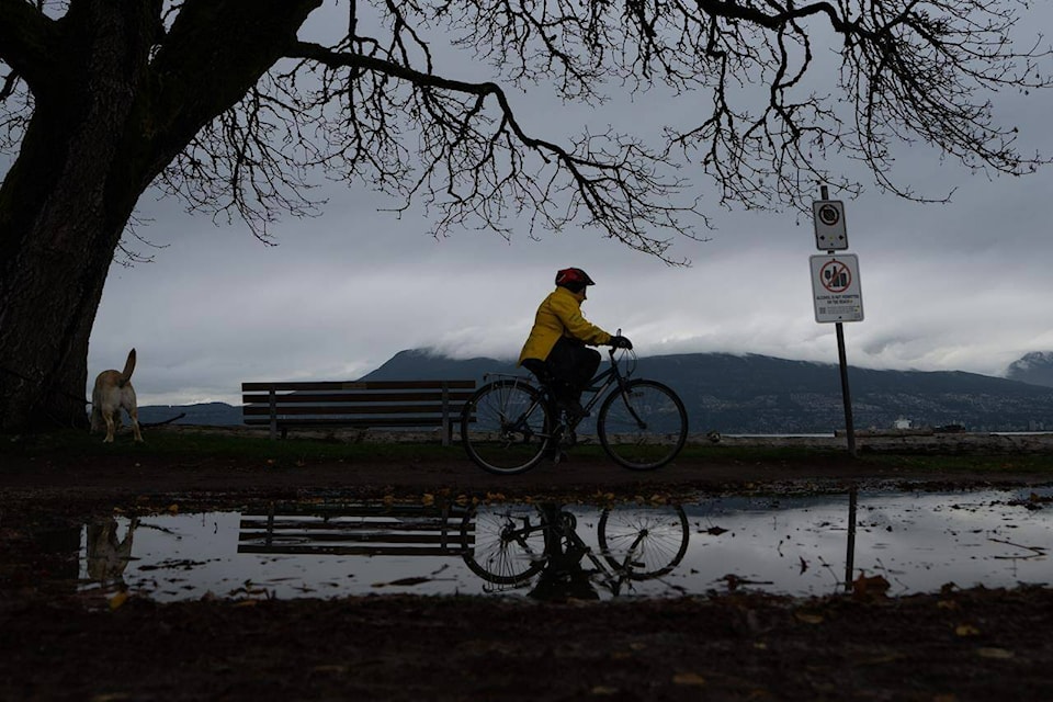
Environment Canada has downgraded a rainfall warning for parts of Metro Vancouver, but British Columbia’s River Forecast Centre has added a flood watch for the Sumas area as a series of atmospheric rivers deluge the province’s South Coast.
An update from the centre this morning says flow levels in the Nooksack River in neighbouring Washington are nearing “local flood stage” and may approach “spillover conditions” into the Sumas River watershed near the community of Everson, Wash., about 20 kilometres south of Abbotsford, B.C.
But the centre says any local flooding is expected to be “short-lived,” as upstream areas have already reached peak levels and are now receding.
The Sumas Prairie was especially hard hit during the atmospheric rivers that swamped much of southwestern B.C. in November 2021, washing away bridges, inundating farmland and spurring landslides that killed five people.
The River Forecast Centre says the latest round of storms have delivered between 50 and 160 millimetres of rain to the South Coast since Friday, and forecasting suggests two more atmospheric rivers will arrive between today and Tuesday.
It says the heaviest rainfall is expected over western Vancouver Island and the Coast Mountains, where warming temperatures will add snowmelt to the runoff.
The centre is maintaining flood watches for Vancouver Island and much of the rest of the South Coast, including the Sunshine Coast and the Sea-to-Sky region.
Today’s update says rivers with potential for flooding on the island include the Gold, Salmon, Somass, Englishman, Qualicum, Chemainus and Cowichan rivers.
On the mainland, it says rivers with potential for high flows and flooding include the Stawamus, Squamish, Mamquam and Cheakamus rivers, as well as tributaries around the North Shore mountains, the Fraser Valley and the Sunshine Coast.
Meanwhile, a lower-level streamflow advisory is in effect for the Central Coast.
Environment Canada has added a rainfall warning for Kitimat, saying the community could receive up to 75 millimetres of rain by Tuesday morning.
A wind warning also spans Prince Rupert and Haida Gwaii, where the weather office says gusts could reach speeds of 110 kilometres per hour before easing Monday.
READ ALSO: Highway 1 from Sicamous to Alberta at risk of avalanche
The Canadian Press